An Inside Look At 1961 Mapmaking By British Cartographers
When you see the work these cartographers did 60 years ago, it’s incredible to think how far we’ve come.

There are many things that we take for granted these days.
Technology allows us to have access to almost anything we need, including maps that allow us to get from where we are to anywhere else in the world.
These days, we simply look at our smartphones and see a detailed map that is accurate and has amazing detail. Back in 1961, however, roadmaps were made much differently.
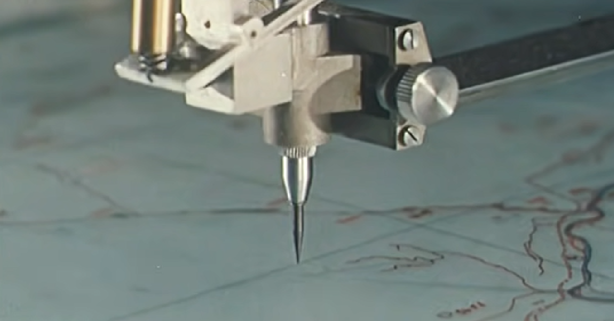
That is seen in the video below, which shows you what took place in a cartographer’s studio back in the day. Roadmaps were being developed in England when the road system was still being built up significantly.
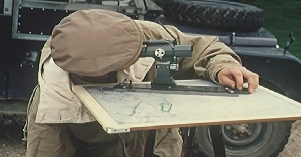
At the time, this cartographer’s technology was truly state-of-the-art. They are able to do things in a matter of days that took land surveyors months to do with tripods and steel tapes.
At one time, two men would have to work for an entire year to get the mathematics correct for the map. These days, a computer can draw a map in a matter of hours or less.

Although we have come a long way with technology, there is still some benefit to looking at how things were done previously. When you see the work these cartographers did 60 years ago, it’s incredible to think how far we’ve come.
Check out the video below:
More to Explore
SKM: below-content placeholderWhizzco for DOT